

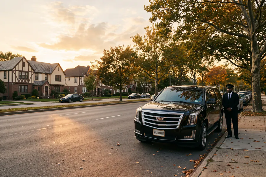
The largest borough, with two airports in it
Queens is the largest borough, and both city airports are here. LaGuardia is in East Elmhurst on the north shore and JFK is in Jamaica on the south side, about 10 miles apart. Which one is closer depends on where you start. From Astoria, Long Island City, Sunnyside or Jackson Heights, LaGuardia is much closer. From Jamaica, Ozone Park, Howard Beach or the Rockaways, JFK is. From Forest Hills, Flushing and Bayside the two airports are about the same distance away.
Water borders most of Queens. The East River and Long Island Sound are to the north, and Jamaica Bay and the Atlantic to the south. Nassau County is to the east and Brooklyn to the southwest. Queens has dozens of neighborhoods. Tell us the neighborhood as well as the street.
How Queens addresses work
Most Queens roads are numbered, and the same number is used several times. One number can be an avenue, a road, a drive, a place and a street, all within a few blocks. The first part of a house number, like the 34 in 34-12, points to the nearest cross street. It helps, but please give us the cross street too.
The big roads have names. Queens Boulevard goes through the middle from the Queensboro Bridge to Jamaica, and Northern Boulevard follows the north side. Astoria Boulevard is next to the road into LaGuardia. Woodhaven Boulevard crosses the borough north to south, Hillside Avenue and Union Turnpike serve the east, and Cross Bay Boulevard goes over Jamaica Bay to the Rockaways.
Expressways and parkways
The Grand Central Parkway goes to LaGuardia and the Van Wyck Expressway goes to JFK. The Long Island Expressway leads to Manhattan through the Queens-Midtown Tunnel, and the Brooklyn-Queens Expressway (BQE) leads to Brooklyn. On the edges, the Cross Island Parkway follows the eastern shore and the Clearview Expressway comes down from the Throgs Neck Bridge. The Whitestone Expressway links the Bronx-Whitestone Bridge to the Van Wyck, and the Belt Parkway follows Jamaica Bay past JFK toward Brooklyn. The Jackie Robinson Parkway cuts across the middle from Brooklyn to Kew Gardens.
Newark Liberty and Teterboro are harder from Queens. You have to cross Manhattan, or go the long way through Brooklyn and Staten Island. For a flight from New Jersey, leave plenty of extra time, and book an early pickup if you can.
Stadiums and colleges in Queens
Citi Field and the USTA Billie Jean King National Tennis Center are next to each other in Flushing Meadows Corona Park, with the Unisphere, the Queens Museum and the New York Hall of Science. From late August into September, US Open traffic jams every road in from the Grand Central Parkway and Roosevelt Avenue. Meet your car a few blocks from the main gates. Forest Hills Stadium is on narrow residential streets. Concert nights there work the same way. Aqueduct Racetrack and Resorts World are in South Ozone Park, by the Belt Parkway.
Astoria has Kaufman Astoria Studios and the Museum of the Moving Image. Jamaica has St. John's University and Jamaica Station, where the Long Island Rail Road, the subway and the JFK AirTrain meet. Queens College is in Flushing. Main Street and Roosevelt Avenue in Flushing are very busy and no car can wait there. Meet your car one street over.
Eastern Queens and the Rockaways
East of Flushing Meadows, Queens is suburban. Fresh Meadows, Queens Village, Hollis, St. Albans, Laurelton, Rosedale and Little Neck have quiet streets, served by Utopia Parkway, Francis Lewis Boulevard, Kissena Boulevard and Springfield Boulevard. Cunningham Park and Alley Pond Park are between them, and Fort Totten is at the point under the Throgs Neck Bridge. At the far western end, Astoria Park is under the Hell Gate Bridge.
From the rest of Queens, you reach the Rockaways by Cross Bay Boulevard across Jamaica Bay, and from Brooklyn by the Marine Parkway Bridge. On the peninsula, Beach Channel Drive and the Rockaway Freeway go from Far Rockaway past Rockaway Beach and Jacob Riis Park to Breezy Point. On summer weekends, allow extra time. Each way in is a single bridge, with no other road.
Airport routes from Queens
Here are the usual routes from Queens to each airport. For arrivals, see LaGuardia terminal pickups and JFK terminal pickups. Our guide to airport routes from Brooklyn and Queens compares the BQE, the Belt Parkway and the Van Wyck.
- Astoria to LaGuardia ratesAstoria Boulevard onto the Grand Central Parkway, about 4 miles to the terminals
- Forest Hills to JFK ratesQueens Boulevard to the Long Island Expressway, then the Van Wyck Expressway south
- Rockaway Beach to JFK ratesCross Bay Boulevard north over Jamaica Bay to the Belt Parkway and the JFK Expressway
- Queens to Newark Liberty ratesMidtown Tunnel and across Manhattan to the Lincoln Tunnel
- Queens to Teterboro ratesAcross Manhattan, then Route 3 into Bergen County
Airport rides from Queens have a flat rate, set when you book. See all rates.
Other trips from Queens
- Flushing to Midtown ManhattanLong Island Expressway west from Main Street, then the Queens-Midtown Tunnel into Murray Hill.
- Jamaica to Wall StreetVan Wyck to the Belt Parkway west, then the Hugh L. Carey Tunnel and the Battery Park Underpass.
- Bayside to the BronxCross Island Parkway north to the Throgs Neck Bridge, or the Clearview Expressway to the same crossing.
By the hour
Queens by the hour
After a game at Citi Field or a session at the US Open, tens of thousands of people leave Flushing Meadows at once. Book by the hour, and your car waits at a corner we agree on, away from the crowd. The 12-seat Sprinter works for a group leaving from one address. You can book any class by the hour, with a 3-hour minimum. See hourly rates.
- Meeting pointA corner away from the gates, agreed in advance
- SprinterUp to 12 people leaving from one address
- Child seatsInfant, toddler and booster seats, free on request.
Questions
Questions about Queens pickups
Which airport should I use from a Queens address?
It depends on your neighborhood. West and north of Flushing Meadows, LaGuardia is closer, and it costs less than JFK. South and east of the park, JFK is closer. Forest Hills, Flushing and Bayside are in between. There it depends on whether the Grand Central Parkway or the Van Wyck is moving that day.
Why does a Queens address need a cross street?
Because one number can be an avenue, a road, a drive, a place and a street, all within a few blocks. The first part of the house number points to the nearest cross street, but please give us the cross street anyway. Tell us which side of the street your entrance is on too, because many main roads here have no stopping on one side.
Can you pick me up at Citi Field or the US Open?
Yes. We agree on a meeting point when you book. When a game or session ends, the roads right around the stadium and the tennis center jam. A corner a few blocks out on Roosevelt Avenue, or on the far side of the park, gets you moving sooner than the nearest gate. For a whole evening with a stop before or after, book by the hour.
Which parts of Queens do you cover?
All of it. In the west: Astoria, Long Island City, Sunnyside and Woodside. Through the middle: Jackson Heights, Elmhurst, Corona and Rego Park. In the north and east: Flushing, College Point, Whitestone, Bayside and Douglaston. In the center: Forest Hills, Kew Gardens, Ridgewood, Maspeth and Middle Village. In the south: Jamaica, Ozone Park, Howard Beach, Broad Channel and the Rockaways. Long Island City has its own page.
Nearby areas
Areas next to Queens
Book
Book a car in Queens
We answer calls and messages 24 hours a day, every day. Send us the neighborhood, the cross street and the airport.